
Professional Drone Photography
We specialize in aerial drone photographyWe provide cutting edge technology and specialize in aerial drone photography
Professional Drone Photography
We specialize in aerial drone photography
We provide cutting edge technology and specialize in aerial drone photography
")
By providing your contact details, you agree to our Private Policy
AERIAL DRONE WORKS Inc.
Why should your organization use our drone service?
ADW’s successful drone program is able to provide your business with accurate, up-to-date data on your site’s progress and productivity. The information gained through this process can ensure the highest quality of work while minimizing operational risk and cost.
Insured
ADW is fully insured with industry specific insurance with an average amount of 5 million liability insurance.

Certifications
- Transport Canada Advanced Operation Pilot Certification
- Restricted Operator Certificate with Aeronautical (ROC-A)
- Advanced RPAS Pilot & Public Safety Analvtics

Trained Pilots
Our pilots are certified advanced licensed pilots with VHF radio communication license and able to communicate with NAV Canada if need to ensure safe operation.
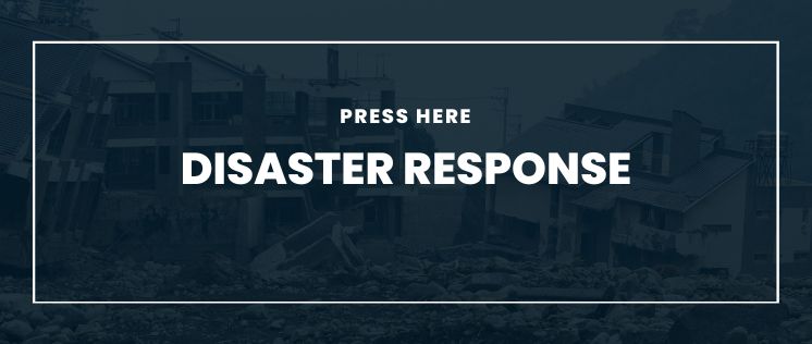
Aerial Disaster Responder
Aerial disaster response provides assistance in an aftermath of disasters, crashes, and floods, for continued assessment of a concerned area. Drones can quickly and safely access and survey and map disaster zones while providing crucial information about the extent of damage and potential hazards of that zone.
Aerial Mapping
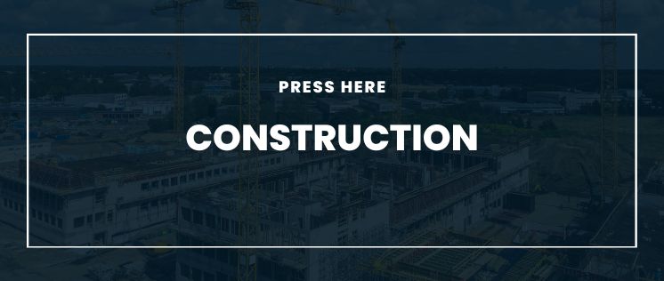
Aerial mapping is widely used in various fields such as urban planning, construction, environmental management, and construction progression reporting to name a few.
Aerial Mapping allows for creation of accurate and detailed maps that can be used for a variety of purposes, including land-use planning, resources management, construction progression, volume metrics, and contour elevation marking.
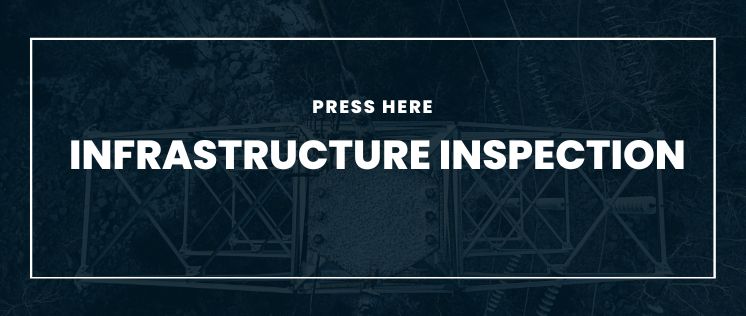
Aerial Infrastructure Inspection
Aerial infrastructure inspection is conducted using high resolution sensors in order to assess the condition of the structures during regular or emergency inspections of bridges, building, roofs, asphalt, concrete and hard to reach areas. By using drone for inspections it provides quick and efficient data collection while increasing safety for workers.
Drone surveying
Aerial Drone Works Inc. offers a comprehensive range of Drone options for your organization by providing high-quality, low-cost drone services across Ontario. We provide specialized services to builders, engineering, property management firms within the construction industry.
UAV collects data and images for mapping and surveying purposes using technology that allows for quick and efficient data collection, used to create 2D Orthomosaic and 3D models to analyze changes over time.
.
Let our expert staff walk you through the ADW system, and answer any questions you have. Fill out the form to get help.